|
WIS 190
State Trunk Highway 190 (often called Highway 190, STH-190 or WIS 190) is a state highway in the U.S. state of Wisconsin. It runs east–west in southeast Wisconsin from Pewaukee to Shorewood. Route description In Milwaukee, WIS 190 is known as Capitol Drive, one of the main streets of the city's north side. The road's name comes from older mapping methods that discerned the road would lead directly toward the Wisconsin State Capitol in Madison if built in a straight east-west line from Lake Michigan, though current day mapping actually places it two miles north of downtown Madison and the Capitol's center point. The designation is carried all the way west to Pewaukee and its terminus just west of its interchange with WIS 16 in the Village of Pewaukee. WI 190 officially ends at the intersection with Simmons Avenue in Pewaukee, a block south of the post office. It begins again just west of Pewaukee initially under the name Lisbon Avenue and finally e ... [...More Info...] [...Related Items...] OR: [Wikipedia] [Google] [Baidu] |
Pewaukee (village), Wisconsin
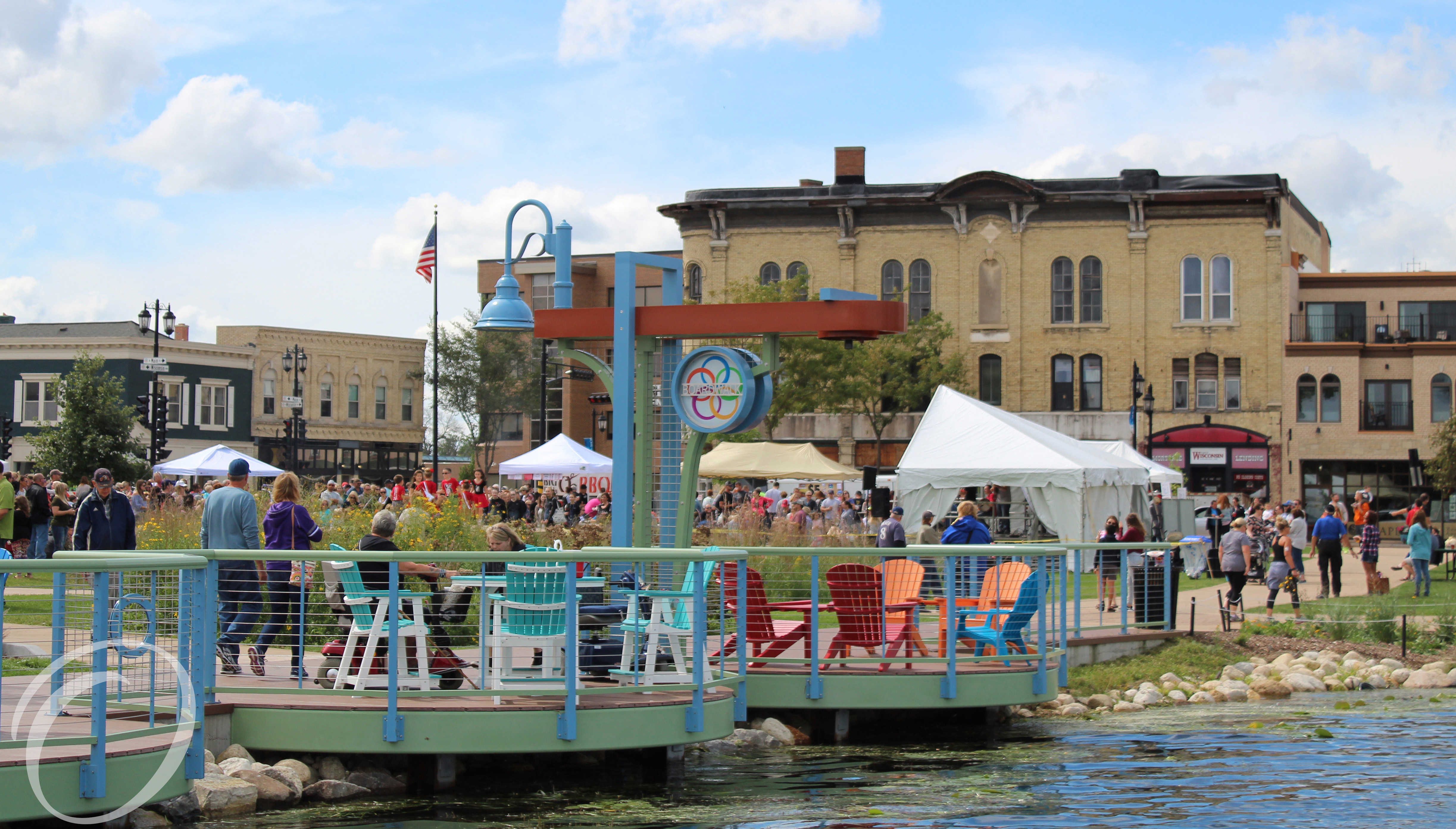
Pewaukee is a village in Waukesha County, Wisconsin, United States. The population was 8,238 at the 2020 census. The village is nearly surrounded by the City of Pewaukee. The village was incorporated from what was formerly the Town of Pewaukee, and the remainder of the town later incorporated as a city. History The present-day village of Pewaukee was settled in about 1837 by the Deacon Asa Clark of Lunenburg, Vermont, when he erected a hotel, sawmill, and church in this location. Pewaukee became a town in the year 1840, and then a village later in 1876. Pewaukee is constructed upon ''aki'' or ''(w)aukee'', which means "land" or "location" in several Algonquian languages. The significance and outright etymology of the initial syllable of the name is uncertain. Sources in Ojibwe ''nibiwaki'' "watery (i.e., swampy) place", Potawatomi ''pee-wauk-ee-wee-nick'' "the dusty water" or "lake of shells", and Menominee ''pee-wau-nau-kee'' "place of flint" have been suggested, as well as ... [...More Info...] [...Related Items...] OR: [Wikipedia] [Google] [Baidu] |
Wisconsin Highway 16
State Trunk Highway 16 (often called Highway 16, STH-16 or WIS 16) is a Wisconsin state highway running from Pewaukee across the state to La Crosse. Much of its route in the state parallels the former mainline of the Milwaukee Road and current mainline of the Canadian Pacific Railway. Interstate 90 (I-90) or I-94 parallels Highway 16 for most of its length in the state. It serves local traffic in nearby cities including La Crosse, Tomah, Wisconsin Dells, Portage, Columbus, Watertown, Oconomowoc and Waukesha. The highway is mainly two-lane surface road or urban multi-lane expressway from La Crosse to Oconomowoc, and it is a freeway east of Oconomowoc. Route description WIS 16 enters from Minnesota via a connection with Trunk Highway 16 on the Mississippi River, running concurrently with US Highway 14 (US 14) and US 61. After the two US Highways turn south to follow 3rd Street in downtown La Crosse, WIS 16 passes through La Crosse via Cass St ... [...More Info...] [...Related Items...] OR: [Wikipedia] [Google] [Baidu] |
Transportation In Waukesha County, Wisconsin
Transport (in British English), or transportation (in American English), is the intentional movement of humans, animals, and goods from one location to another. Modes of transport include air, land (rail and road), water, cable, pipeline, and space. The field can be divided into infrastructure, vehicles, and operations. Transport enables human trade, which is essential for the development of civilizations. Transport infrastructure consists of both fixed installations, including roads, railways, airways, waterways, canals, and pipelines, and terminals such as airports, railway stations, bus stations, warehouses, trucking terminals, refueling depots (including fueling docks and fuel stations), and seaports. Terminals may be used both for interchange of passengers and cargo and for maintenance. Means of transport are any of the different kinds of transport facilities used to carry people or cargo. They may include vehicles, riding animals, and pack animals. Vehicles may inclu ... [...More Info...] [...Related Items...] OR: [Wikipedia] [Google] [Baidu] |
State Highways In Wisconsin
State may refer to: Arts, entertainment, and media Literature * ''State Magazine'', a monthly magazine published by the U.S. Department of State * ''The State'' (newspaper), a daily newspaper in Columbia, South Carolina, United States * ''Our State'', a monthly magazine published in North Carolina and formerly called ''The State'' * The State (Larry Niven), a fictional future government in three novels by Larry Niven Music Groups and labels * States Records, an American record label * The State (band), Australian band previously known as the Cutters Albums * ''State'' (album), a 2013 album by Todd Rundgren * ''States'' (album), a 2013 album by the Paper Kites * ''States'', a 1991 album by Klinik * ''The State'' (album), a 1999 album by Nickelback Television * ''The State'' (American TV series), 1993 * ''The State'' (British TV series), 2017 Other * The State (comedy troupe), an American comedy troupe Law and politics * State (polity), a centralized political organizatio ... [...More Info...] [...Related Items...] OR: [Wikipedia] [Google] [Baidu] |
Chicago
(''City in a Garden''); I Will , image_map = , map_caption = Interactive Map of Chicago , coordinates = , coordinates_footnotes = , subdivision_type = Country , subdivision_name = United States , subdivision_type1 = State , subdivision_type2 = Counties , subdivision_name1 = Illinois , subdivision_name2 = Cook and DuPage , established_title = Settled , established_date = , established_title2 = Incorporated (city) , established_date2 = , founder = Jean Baptiste Point du Sable , government_type = Mayor–council , governing_body = Chicago City Council , leader_title = Mayor , leader_name = Lori Lightfoot ( D) , leader_title1 = City Clerk , leader_name1 = Anna Valencia ( D) , unit_pref = Imperial , area_footnotes = , area_tot ... [...More Info...] [...Related Items...] OR: [Wikipedia] [Google] [Baidu] |
Three-level Diamond Interchange
A three-level diamond interchange is a type of highway interchange where through traffic on both main roads is grade-separated from intersections which handle transferring traffic. It is similar in design to a three-level stacked roundabout except for its use of (usually signalled) conventional intersections, and can be thought of as two diamond interchanges fused together. Road enthusiasts sometimes use the terms volleyball interchange or split-level diamond interchange to refer to these interchanges. Description In a three-level diamond interchange, the two main roads are on separate levels, and on a third level, usually in the middle, there is a square of one-way roads. The square circulates clockwise where traffic drives on the left, or anticlockwise where it drives on the right. At each corner of the square is the terminal of an exit ramp from one main road and an entrance ramp to the other main road. Traffic transferring from one road to the other to make an overall ... [...More Info...] [...Related Items...] OR: [Wikipedia] [Google] [Baidu] |
Interstate 41
Interstate 41 (I-41) is a north–south Interstate Highway connecting the interchange of I-94 and U.S. Route 41 (US 41), located south of the Wisconsin–Illinois border at the end of the Tri-State Tollway in metropolitan Chicago, to an interchange with I-43 in metropolitan Green Bay, Wisconsin. The designation travels concurrently with US 41, I-894, US 45, I-43, and sections of I-94 in Wisconsin and Illinois. The route was officially added to the Interstate Highway System on April 7, 2015, and connects Milwaukee and Green Bay with the Fox Cities. Route description I-41 begins at the I-94/US 41 interchange in Russell, Illinois, located south of the Wisconsin–Illinois border at the end of the Tri-State Tollway. The highway continues north concurrently with I-94 as part of the North-South Freeway to the Mitchell Interchange in Milwaukee, turns west to run concurrently with I-894 and I-43 as the Airport Freeway to the Hale Interchang ... [...More Info...] [...Related Items...] OR: [Wikipedia] [Google] [Baidu] |
Harley-Davidson
Harley-Davidson, Inc. (H-D, or simply Harley) is an American motorcycle manufacturer headquartered in Milwaukee, Wisconsin, United States. Founded in 1903, it is one of two major American motorcycle manufacturers to survive the Great Depression along with its historical rival, Indian Motorcycles.Automotive – RSS Feed . ''Popular Mechanics''. Retrieved July 7, 2011. The company has survived numerous ownership arrangements, subsidiary arrangements, periods of poor economic health and product quality, and intense global competition to become one of the world's largest motorcycle manufacturers and an iconic brand widely known for its loyal following. There are owner clubs and events worldwide, as well as a company-sponsored, brand-focused museum. Harley-Davidson is ... [...More Info...] [...Related Items...] OR: [Wikipedia] [Google] [Baidu] |
Oconomowoc, Wisconsin
Oconomowoc ( ) is a city in Waukesha County, Wisconsin, United States. The name was derived from Coo-no-mo-wauk, the Potawatomi term for "waterfall." The population was 15,712 at the 2010 census. The city is partially adjacent to the Town of Oconomowoc and near the village of Oconomowoc Lake, Wisconsin. History Before 1700, this region was inhabited by Potawatomi peoples descended from Woodland Indians known as "mound builders". There are also reports that the Sauk Indian chief Black Hawk had a campsite on Oconomowoc Lake.Mary A. Kane, ''Oconomowoc'' (Charleston: Arcadia Publishing, 2006), pp. 7-8. The first white person recorded in the area was Amable (sometimes spelled "Aumable") Vicau, brother-in-law of Solomon Juneau, one of the founders of Milwaukee. Vicau established a trading post in 1827. White settlers soon followed, beginning in 1830. In April 1837, New York native Charles Sheldon staked a 160-acre claim on the eastern shore of what is now Fowler Lake, registering ... [...More Info...] [...Related Items...] OR: [Wikipedia] [Google] [Baidu] |
Madison, Wisconsin
Madison is the county seat of Dane County and the capital city of the U.S. state of Wisconsin. As of the 2020 census the population was 269,840, making it the second-largest city in Wisconsin by population, after Milwaukee, and the 80th-largest in the U.S. The city forms the core of the Madison Metropolitan Area which includes Dane County and neighboring Iowa, Green, and Columbia counties for a population of 680,796. Madison is named for American Founding Father and President James Madison. The city is located on the traditional land of the Ho-Chunk, and the Madison area is known as ''Dejope'', meaning "four lakes", or ''Taychopera'', meaning "land of the four lakes", in the Ho-Chunk language. Located on an isthmus and lands surrounding four lakes—Lake Mendota, Lake Monona, Lake Kegonsa and Lake Waubesa—the city is home to the University of Wisconsin–Madison, the Wisconsin State Capitol, the Overture Center for the Arts, and the Henry Vilas Zoo. Madison is ho ... [...More Info...] [...Related Items...] OR: [Wikipedia] [Google] [Baidu] |
Wauwatosa, Wisconsin
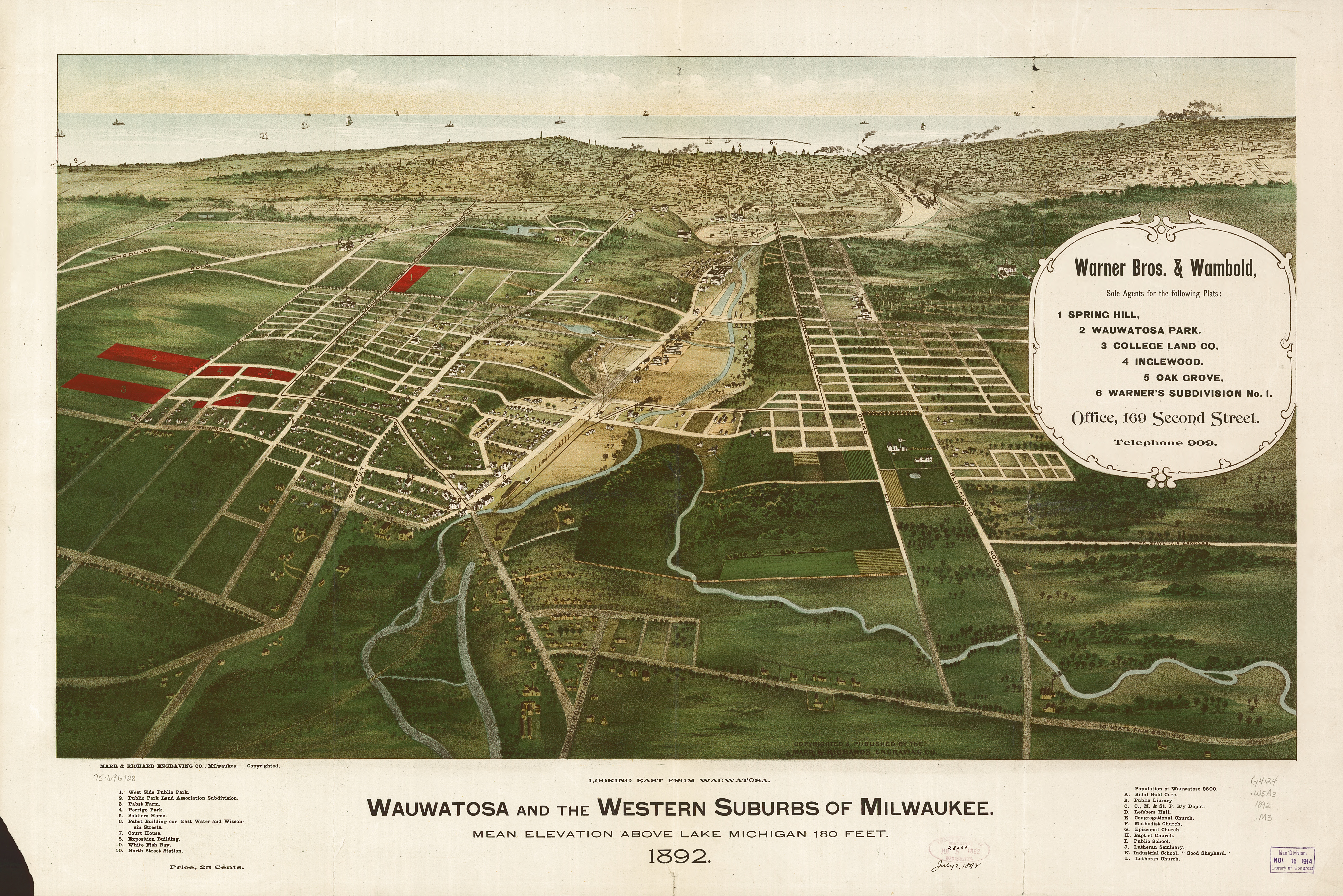
Wauwatosa (; known informally as Tosa; originally Wau-wau-too-sa or Hart's Mill) is a city in Milwaukee County, Wisconsin, Milwaukee County, Wisconsin, United States. The population was 48,387 at the 2020 United States Census, 2020 census. Wauwatosa is located immediately west of Milwaukee, and is a part of the Milwaukee metropolitan area. It is named after the Potawatomi Chief Wauwataesie and the Potawatomi word for firefly. History The lush Menomonee Valley of the Wauwatosa area provided a key overland gateway between the rich glacial farmland of southeastern Wisconsin and the Port of Milwaukee. In 1835, Charles Hart became the first Euro-American to settle here, followed that year by 17 other families. The following year a United States Road was built from Milwaukee through Wauwatosa, eventually reaching Madison, Wisconsin, Madison. Charles Hart built a mill in 1845 on the Menomonee River which gave the settlement its original name of "Hart's Mill." The mill was torn down in 1914 ... [...More Info...] [...Related Items...] OR: [Wikipedia] [Google] [Baidu] |
Wisconsin State Capitol
The Wisconsin State Capitol, located in Madison, Wisconsin, houses both chambers of the Wisconsin legislature along with the Wisconsin Supreme Court and the Office of the Governor. Completed in 1917, the building is the fifth to serve as the Wisconsin capitol since the first territorial legislature convened in 1836 and the third building since Wisconsin was granted statehood in 1848. The Wisconsin State Capitol is the tallest building in Madison, a distinction that has been preserved by legislation that prohibits buildings taller than the columns surrounding the dome (187 feet). The Capitol is located at the southwestern end of the Madison Isthmus. The streets surrounding the building form the Capitol Square, which is home to many restaurants and shops. History First capitol The first capitol was a prefabricated wood-frame council house without heat or water that had been sent hastily to Belmont. Legislators met there for 42 days after Belmont was designated the capital of W ... [...More Info...] [...Related Items...] OR: [Wikipedia] [Google] [Baidu] |


